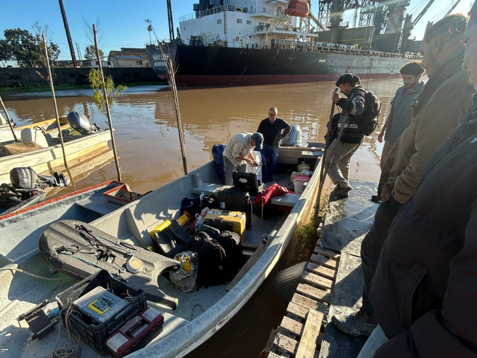
After the first measurement period of 3.5 weeks, the first pressure sensor was retrieved from the Paraná River on March 9th. This was a crucial moment to determine whether the sensor had functioned correctly, and therefore whether usable data had been collected. Fortunately, this was the case! The water level was considerably lower than the previous time, making the riverbank and erosion clearly visible.
The sensor was immediately redeployed for a second measurement period of one month in Campana. In addition, a second pressure sensor was installed a few kilometres further downstream in a straight river segment. This will allow a comparison between ship waves in a bend and in a straight section. Something that is valuable for the erosion analysis. The expectation is that in the outer bend, erosion is primarily natural, driven by higher flow velocities, while on the straight section, erosion is expected to be caused mainly by ship waves. This time, GPS measurements were also taken and aerial photographs were captured using a drone to map the riverbank.
On April 8th, the sensors were removed from the water, and it was once again confirmed that data had been successfully recorded. In collaboration with the national agricultural organisation INTA, the sensors were placed 160 km further upstream in the river the following day. Here too, GPS measurements were taken and the depth profile of the river was recorded. The sensors will collect data at this location for one month as well.
In the meantime, the first dataset is being processed and the first waves are being analysed. Using AIS data (time-referenced information on ship passages), it was possible to identify the vessels responsible for the observed waves. Since ships produce different types of waves, namely primary and secondary waves, the data is currently being filtered to separate the wave types from one another.